We build your projects with strength
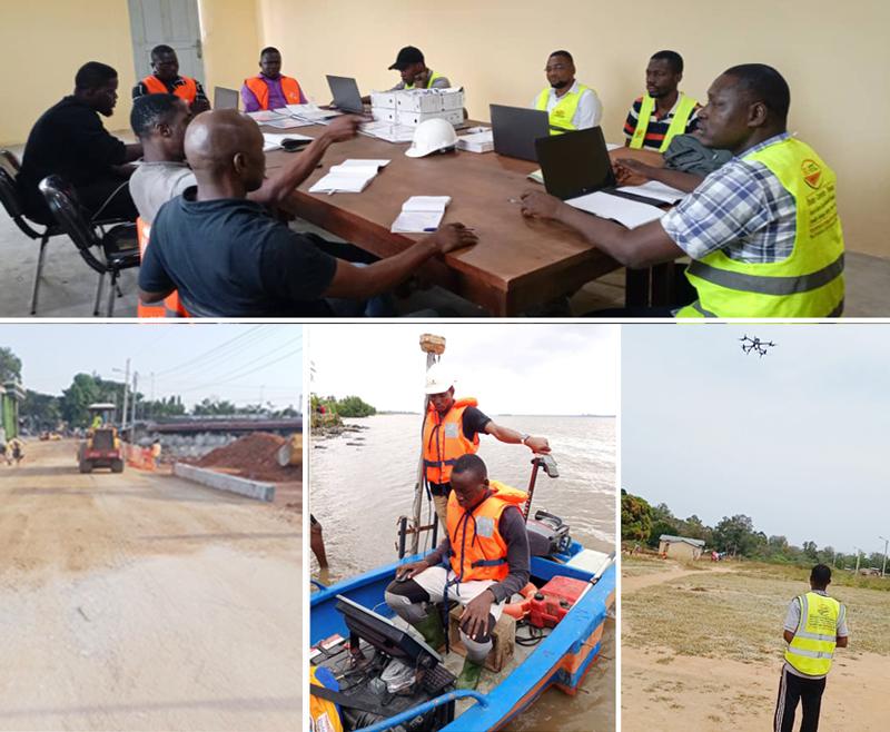
A company working in Building and Public Works. Our areas of expertise: the water sector, sanitation, surveying, civil engineering, site monitoring with drones and differential GPS, and more.
+0
Completed projects
+0
Ongoing projects
+0
Satisfied clients
Engineering at the service of your projects
BIG BTP is a Building and Public Works engineering company whose activities cover studies, inspection, supervision and execution of the works entrusted to us by our clients.
Our areas of expertise are varied and include the water sector, sanitation, surveying, civil engineering, and site monitoring with drones and differential GPS.

They trust us
Institutions and companies that entrust us with their projects.








Our services
From study to completion, we support your projects at every stage.
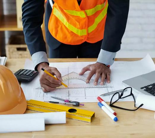
Engineering, consulting & training
We design, inspect and monitor your projects rigorously, and train your teams in construction trades and tools.
- Technical studies
- Works inspection & supervision
- Surveying & differential GPS
- Drone site monitoring
- Consulting & project owner assistance
- Training
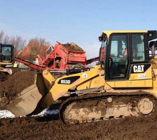
Building & Public Works
We build the structures entrusted to us, on time, on budget and to standard.
- Civil engineering
- Buildings
- Water sector
- Sanitation
- Roads & utilities
- Rehabilitation
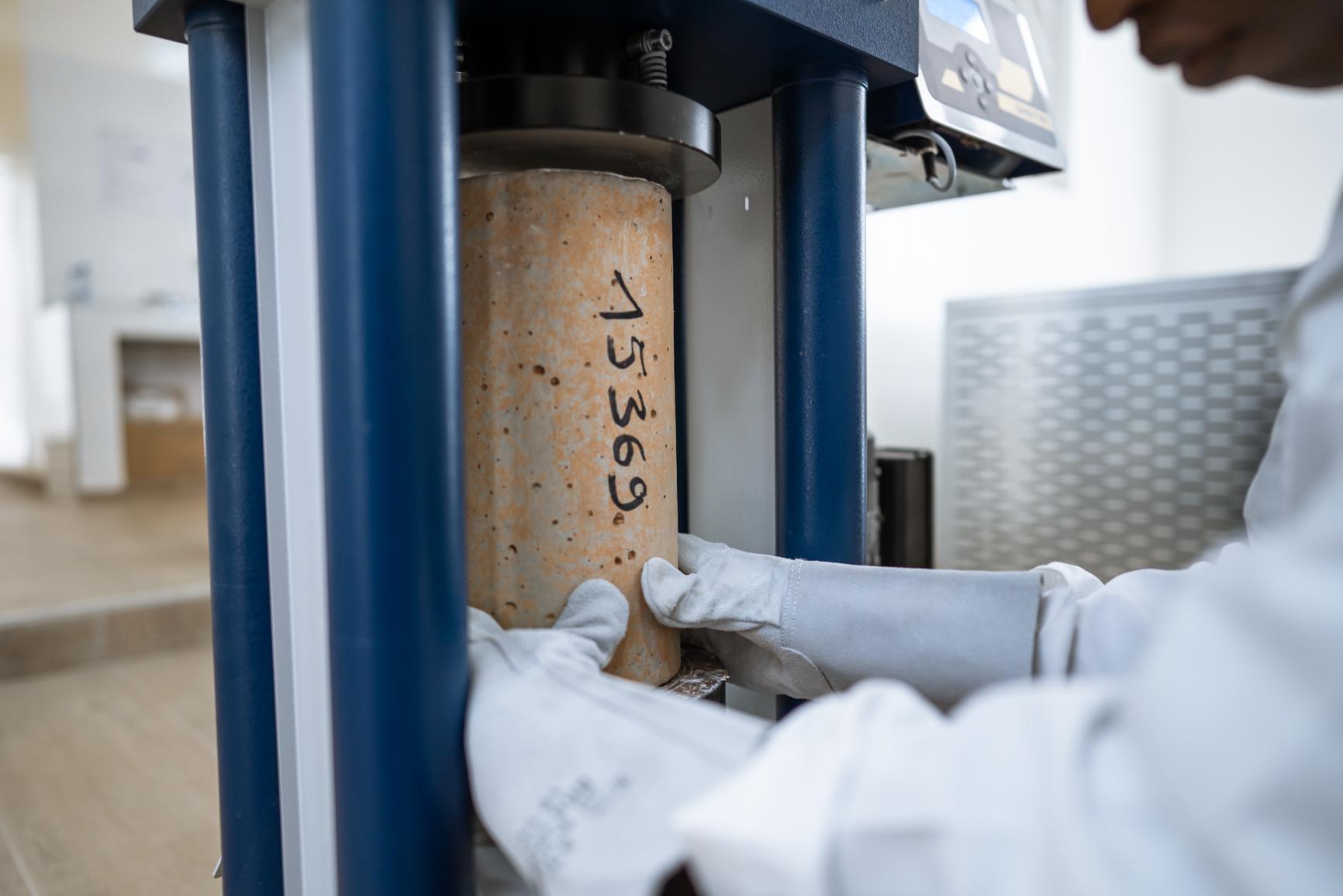
Geotechnical laboratory (BIGLAB)
Our BIGLAB laboratory characterizes soils and materials to design reliable foundations and pavements.
- Drilling & soil investigation
- In-situ testing
- Laboratory testing
- Materials quality control
- Foundation studies
- Geotechnical reports
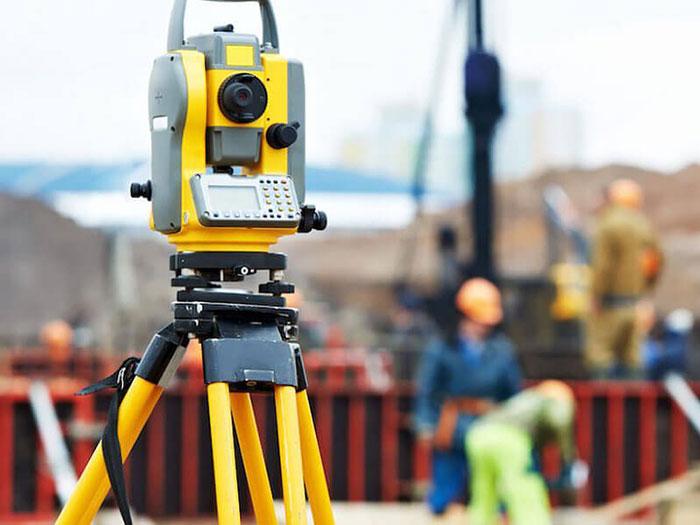
Surveying
Accurate surveys with differential GPS and total stations to design and set out your structures to the centimeter.
- Topographic surveys
- Setting out
- Differential GPS
- As-built plans
- Boundary & subdivision surveys
- Earthwork volumes
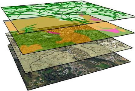
Geographic information systems
We collect, organize and analyze your geographic data to support planning and decision-making.
- Thematic mapping
- Geographic databases
- Spatial analysis
- Network inventories
- Web mapping
- Decision support
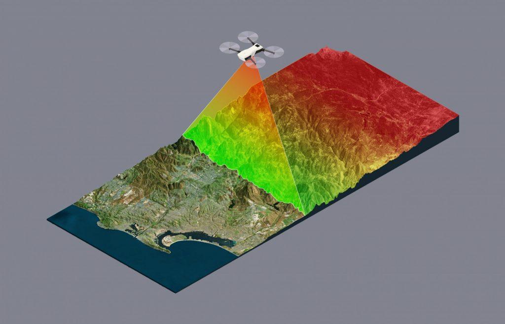
Aerial imaging, 3D & LiDAR
Drones and LiDAR sensors to model terrain in 3D and monitor your sites from the sky.
- Aerial photos & videos
- Orthophotos
- 3D models & point clouds
- Digital terrain models
- Construction progress monitoring
- Structure inspection
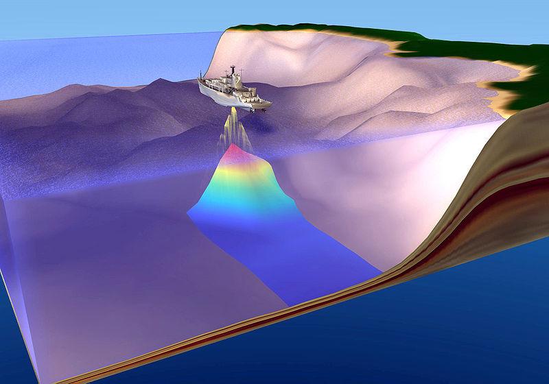
Bathymetric surveys & RADAR technology
We map underwater beds and probe the subsurface without digging, using echo sounders and ground-penetrating radar.
- Bathymetry of water bodies
- Siltation monitoring
- Port & river studies
- Buried utility detection
- Ground-penetrating radar (GPR)
- Pavement assessment
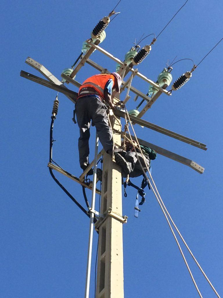
LV/MV electrification
We design and build low- and medium-voltage power networks, from study to commissioning.
- Studies & sizing
- LV & MV networks
- Transformer substations
- Street lighting
- Connections
- Maintenance
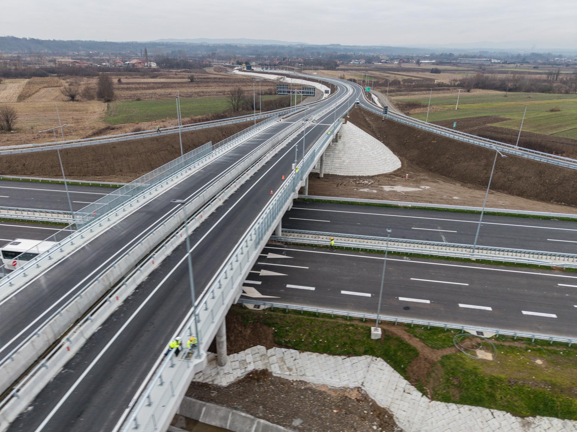
Engineering structures & crossings
We design and build bridges, box culverts and footbridges to safely cross rivers, roads and other obstacles.
- Bridges & footbridges
- Box culverts & pipes
- Retaining walls
- Structural studies
- Structure inspection
- Rehabilitation & strengthening

Training
We share our know-how with professionals and students, in the field and in the classroom.
- Surveying & GPS
- Drone piloting
- GIS software
- CAD software
- Geotechnics
- Custom training
Engineering, consulting & training
We design, inspect and monitor your projects rigorously, and train your teams in construction trades and tools.
- Technical studies
- Works inspection & supervision
- Surveying & differential GPS
- Drone site monitoring
- Consulting & project owner assistance
- Training
Building & Public Works
We build the structures entrusted to us, on time, on budget and to standard.
- Civil engineering
- Buildings
- Water sector
- Sanitation
- Roads & utilities
- Rehabilitation
Geotechnical laboratory (BIGLAB)
Our BIGLAB laboratory characterizes soils and materials to design reliable foundations and pavements.
- Drilling & soil investigation
- In-situ testing
- Laboratory testing
- Materials quality control
- Foundation studies
- Geotechnical reports
Surveying
Accurate surveys with differential GPS and total stations to design and set out your structures to the centimeter.
- Topographic surveys
- Setting out
- Differential GPS
- As-built plans
- Boundary & subdivision surveys
- Earthwork volumes
Geographic information systems
We collect, organize and analyze your geographic data to support planning and decision-making.
- Thematic mapping
- Geographic databases
- Spatial analysis
- Network inventories
- Web mapping
- Decision support
Aerial imaging, 3D & LiDAR
Drones and LiDAR sensors to model terrain in 3D and monitor your sites from the sky.
- Aerial photos & videos
- Orthophotos
- 3D models & point clouds
- Digital terrain models
- Construction progress monitoring
- Structure inspection
Bathymetric surveys & RADAR technology
We map underwater beds and probe the subsurface without digging, using echo sounders and ground-penetrating radar.
- Bathymetry of water bodies
- Siltation monitoring
- Port & river studies
- Buried utility detection
- Ground-penetrating radar (GPR)
- Pavement assessment
LV/MV electrification
We design and build low- and medium-voltage power networks, from study to commissioning.
- Studies & sizing
- LV & MV networks
- Transformer substations
- Street lighting
- Connections
- Maintenance
Engineering structures & crossings
We design and build bridges, box culverts and footbridges to safely cross rivers, roads and other obstacles.
- Bridges & footbridges
- Box culverts & pipes
- Retaining walls
- Structural studies
- Structure inspection
- Rehabilitation & strengthening
Training
We share our know-how with professionals and students, in the field and in the classroom.
- Surveying & GPS
- Drone piloting
- GIS software
- CAD software
- Geotechnics
- Custom training
Engineering, consulting & training
We design, inspect and monitor your projects rigorously, and train your teams in construction trades and tools.
- Technical studies
- Works inspection & supervision
- Surveying & differential GPS
- Drone site monitoring
- Consulting & project owner assistance
- Training
Building & Public Works
We build the structures entrusted to us, on time, on budget and to standard.
- Civil engineering
- Buildings
- Water sector
- Sanitation
- Roads & utilities
- Rehabilitation
Geotechnical laboratory (BIGLAB)
Our BIGLAB laboratory characterizes soils and materials to design reliable foundations and pavements.
- Drilling & soil investigation
- In-situ testing
- Laboratory testing
- Materials quality control
- Foundation studies
- Geotechnical reports
Surveying
Accurate surveys with differential GPS and total stations to design and set out your structures to the centimeter.
- Topographic surveys
- Setting out
- Differential GPS
- As-built plans
- Boundary & subdivision surveys
- Earthwork volumes
Geographic information systems
We collect, organize and analyze your geographic data to support planning and decision-making.
- Thematic mapping
- Geographic databases
- Spatial analysis
- Network inventories
- Web mapping
- Decision support
Aerial imaging, 3D & LiDAR
Drones and LiDAR sensors to model terrain in 3D and monitor your sites from the sky.
- Aerial photos & videos
- Orthophotos
- 3D models & point clouds
- Digital terrain models
- Construction progress monitoring
- Structure inspection
Bathymetric surveys & RADAR technology
We map underwater beds and probe the subsurface without digging, using echo sounders and ground-penetrating radar.
- Bathymetry of water bodies
- Siltation monitoring
- Port & river studies
- Buried utility detection
- Ground-penetrating radar (GPR)
- Pavement assessment
LV/MV electrification
We design and build low- and medium-voltage power networks, from study to commissioning.
- Studies & sizing
- LV & MV networks
- Transformer substations
- Street lighting
- Connections
- Maintenance
Engineering structures & crossings
We design and build bridges, box culverts and footbridges to safely cross rivers, roads and other obstacles.
- Bridges & footbridges
- Box culverts & pipes
- Retaining walls
- Structural studies
- Structure inspection
- Rehabilitation & strengthening
Training
We share our know-how with professionals and students, in the field and in the classroom.
- Surveying & GPS
- Drone piloting
- GIS software
- CAD software
- Geotechnics
- Custom training
Our projects
Projects delivered for public and private clients, in Côte d’Ivoire and abroad.
- Roads, transport & logistics
Arterial roads & interchanges of Greater Abidjan and Bouaké — PTUA, phase 2 (100 km)
- STUDI International
- Côte d’Ivoire
- May – Dec. 2025
- Roads, transport & logistics
Feasibility study & detailed engineering design — Hargeisa–Odweyne–Burao road (183 km)
- STUDI International
- Somaliland
- Nov. – Dec. 2024 (45 days)
- Surveying & buildings
Topographic studies of 6 industrial reserves — Adzopé, Agboville, Yamoussoukro, Bouaké, San-Pédro, PK50 (4,775 ha)
- SOGEDI
- Côte d’Ivoire
- Mar. 2025 – Apr. 2026
Have a project in mind? Let’s talk.
Surveying, studies, construction or electrification: our teams support you from design to delivery, across Côte d’Ivoire and beyond.